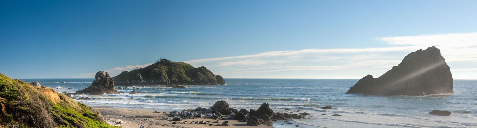
The north coast region is the fourth and final coastal region to establish a network of MPAs. Within the region, 20 MPAs and 7 special closure areas were designated from the California/Oregon border in the north to Alder Creek near Point Arena in the south. The north coast additions include spectacular areas along California’s famously beautiful and remote Lost Coast. These MPAs represent approximately 137 square miles (13%) of state waters in the north coast region with approximately 51 square miles (5%) designated as “no take” state marine reserves. These MPAs were approved and adopted in June of 2012 and went into effect in December 2012.
- Take an interactive tour of California’s North Coast MPAs
- Fourth and final coastal MPA region to be implementedConsists of 20 MPAs and 7 special closures
- Represents approximately 137 square miles or 13% of state waters.
- State marine reserves cover approximately 51 square miles or 5% of the 137 square miles.
- Adopted in June and went into effect in December of 2012.
- Ranges from the California/Oregon border in the north to Alder Creek near Point Arena in the south
- Includes:
- 13 State Marine Conservation Areas (SMCA)
- 6 State Marine Reserves (SMR)
- 1 State Marine Recreational Management Area (SMRMA)
- 6 Special Closures {SC)