Shoreline Boundary Landmarks:
Coming soon!
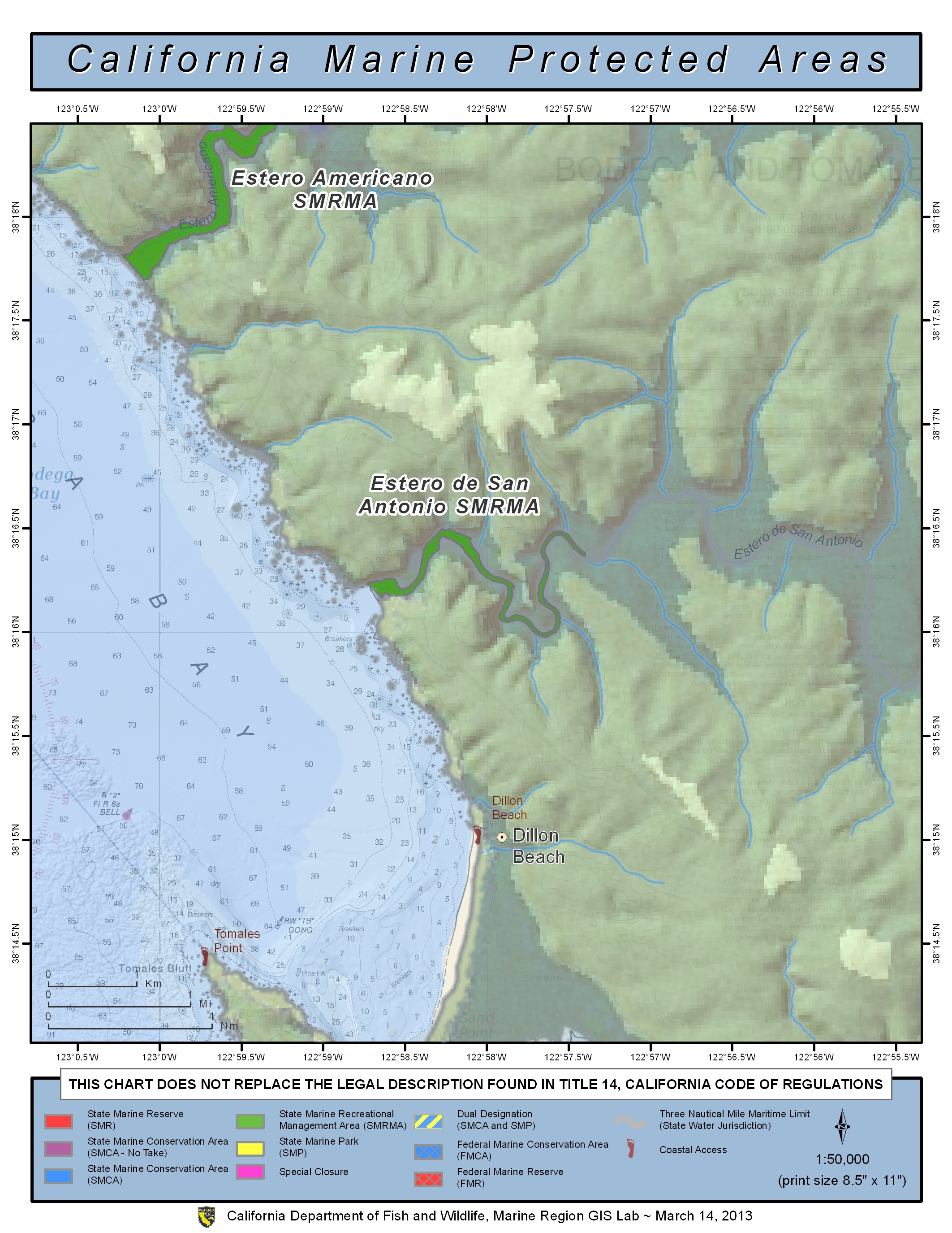
GPS Boundary:
This area includes the waters below the mean high tide line within Estero de San Antonio westward of longitude 122° 57.40′ W.
Permitted/Prohibited Uses:
- Recreational Fishing:
- Allowed Species: Hunting of waterfowl unless otherwise restricted by hunting regulations.
- Prohibited Species: All other living marine resources EXCEPT those listed above.
- Commercial Fishing:
- Allowed Species: None
- Prohibited Species: All
Effective as of: May 1, 2010
Additional Resources:
- Brochure: Russian River Brochure