GPS Boundary:
This area is bounded by the mean high tide line and straight lines connecting the following points in the order listed except where noted:
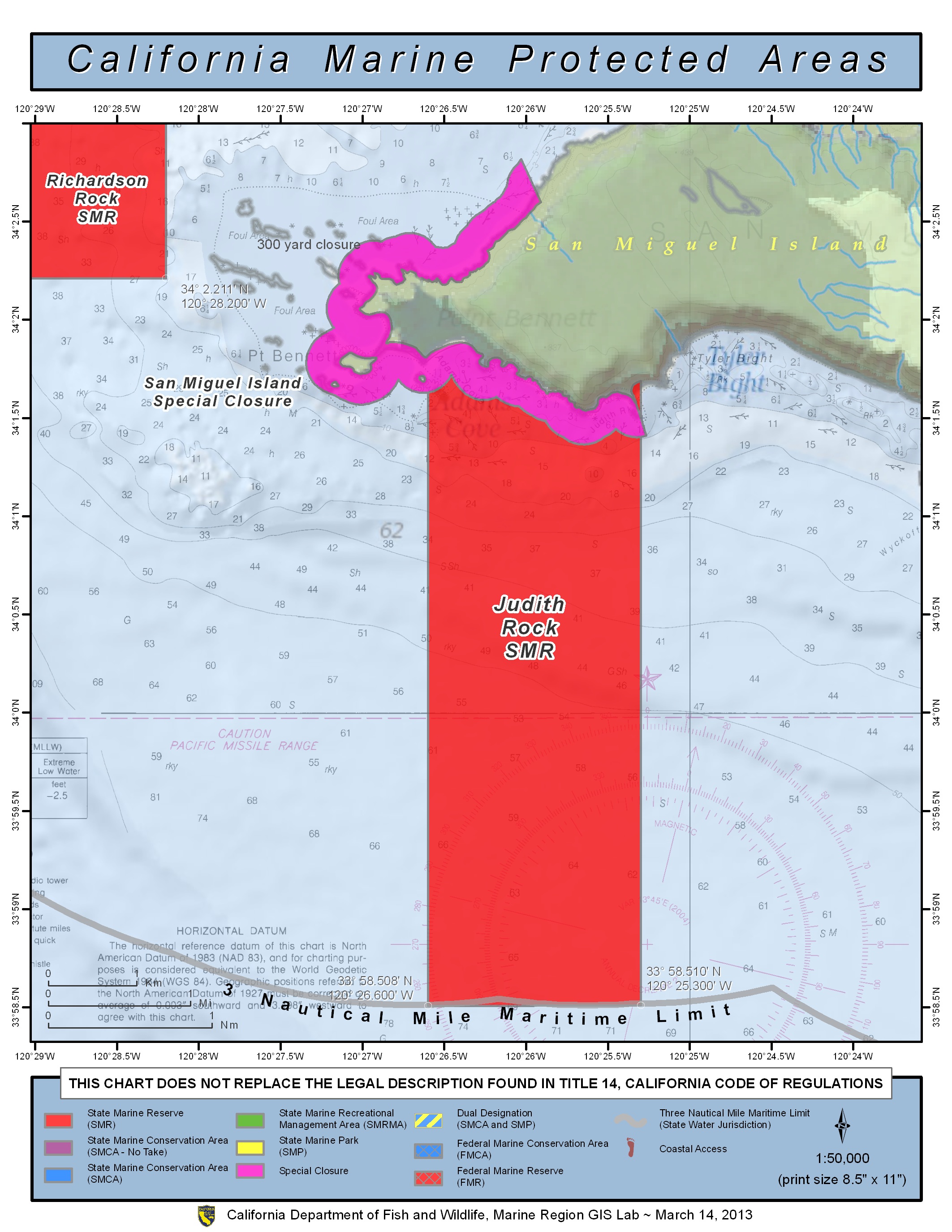
34° 01.802’N. lat. 120° 26.600’W. long.;
33° 58.508’N. lat. 120° 26.600’W. long.;
thence eastward along the three nautical mile offshore boundary to
33° 58.510’N. lat. 120° 25.300’W. long.; and
34° 01.618’N. lat. 120° 25.300’W. long.
Permitted/Prohibited Uses:
- Recreational Fishing:
- Allowed Species: None
- Prohibited Species: All
- Commercial Fishing:
- Allowed Species: None
- Prohibited Species: All
Effective as of: January 1, 2012
