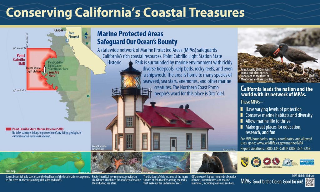
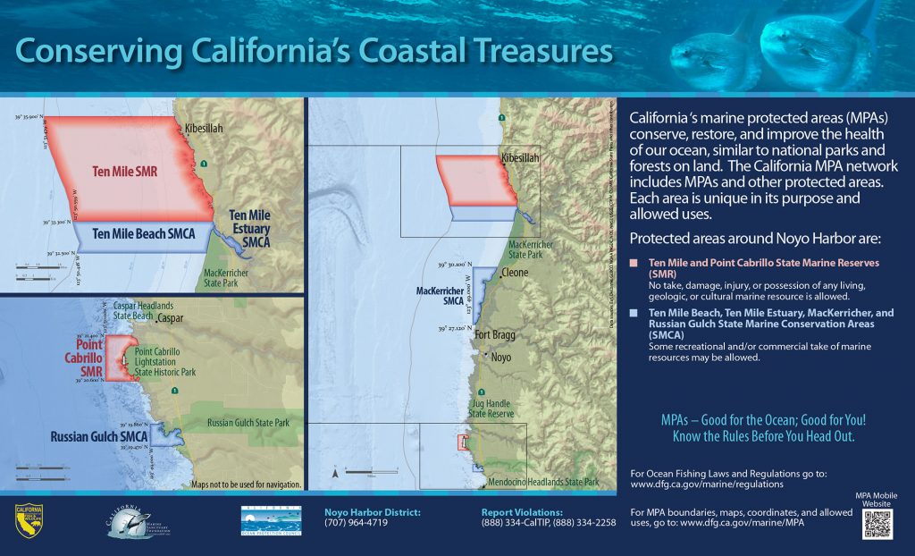
GPS Boundary:
This area is bounded by the mean high tide line and straight lines connecting the following points in the order listed except where noted:
39° 21.400′ N. lat. 123° 49.418′ W. long.;
39° 21.400′ N. lat. 123° 50.000′ W. long.;
39° 20.600′ N. lat. 123° 50.000′ W. long.; and
39° 20.600′ N. lat. 123° 49.266′ W. long.
Permitted/Prohibited Uses: *
- Recreational Fishing:
- Allowed Species: None
- Prohibited Species: All
- Commercial Fishing:
- Allowed Species: None
- Prohibited Species: All
Effective as of: December 19, 2012
