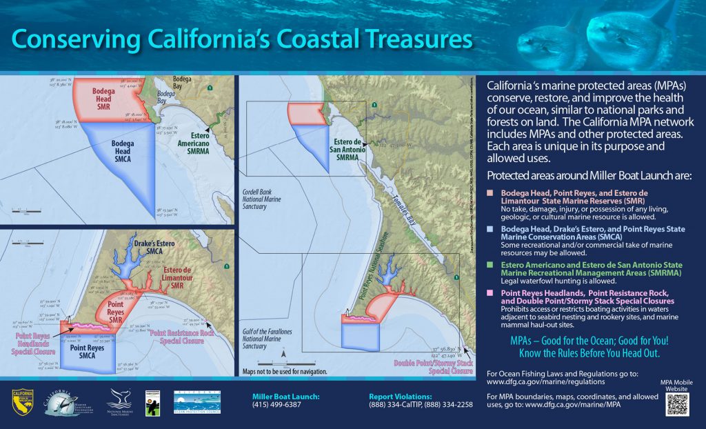
GPS Boundary:
This area consists of waters below the mean high tide line within Estero de Limantour and within Drakes Estero, southward of a line connecting the following two points:
38° 02.66′ N. lat. 122° 56.89′ W. long.; and
38° 02.66′ N. lat. 122° 56.15′ W. long.
And northward of a line connecting the following two points:
38° 01.783′ N. lat. 122° 55.286′ W. long.; and
38° 01.954′ N. lat. 122° 56.451′ W. long.
Permitted/Prohibited Uses:
- Recreational Fishing:
- Allowed Species: None
- Prohibited Species: All
- Commercial Fishing:
- Allowed Species: None
- Prohibited Species: All
Effective as of: May 1, 2010