GPS Boundary:
This area is bounded by the mean high tide line and straight lines connecting the following points in the order listed except where noted:
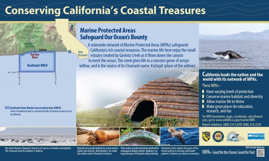
34° 28.13′ N. lat. 120° 14.46′ W. long.;
34° 27.30′ N. lat. 120° 14.46′ W. long.;
34° 27.30′ N. lat. 120° 12.47′ W. long.; and
34° 28.23′ N. lat. 120° 12.47′ W. long.
Permitted/Prohibited Uses: *
- Recreational Fishing:
- Allowed Species: Finfish, invertebrates except rock scallops and mussels, and giant kelp (Macrocystis pyrifera) by hand harvest.
- Prohibited Species: All other living marine resources EXCEPT those listed above.
- Commercial Fishing:
- Allowed Species: None
- Prohibited Species: All
- Definitions:
- Finfish are defined as any species of bony fish or cartilaginous fish (sharks, skates and rays). Finfish do not include amphibians, invertebrates, plants or algae.
Educational Resources:
Effective as of: January 1, 2012