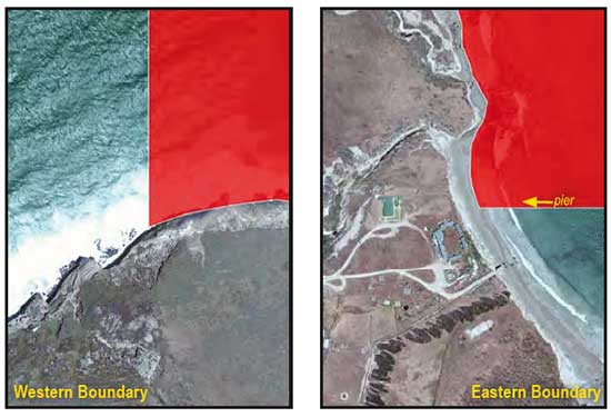
GPS Boundary:
This area is bounded by the mean high tide line and straight lines connecting the following points in the order listed:
34° 01.296’N. lat. 120° 05.200’W. long.
34° 04.000’N. lat. 120° 05.200’W. long.;
34° 04.000’N. lat. 120° 01.000’W. long.;
34° 00.500’N. lat. 120° 01.000’W. long.; and
34° 00.500’N. lat. 120° 02.930’W. long.
Permitted/Prohibited Uses:
- Recreational Fishing:
- Allowed Species: None
- Prohibited Species: All
- Commercial Fishing:
- Allowed Species: None
- Prohibited Species: All
Effective as of: January 1, 2012
