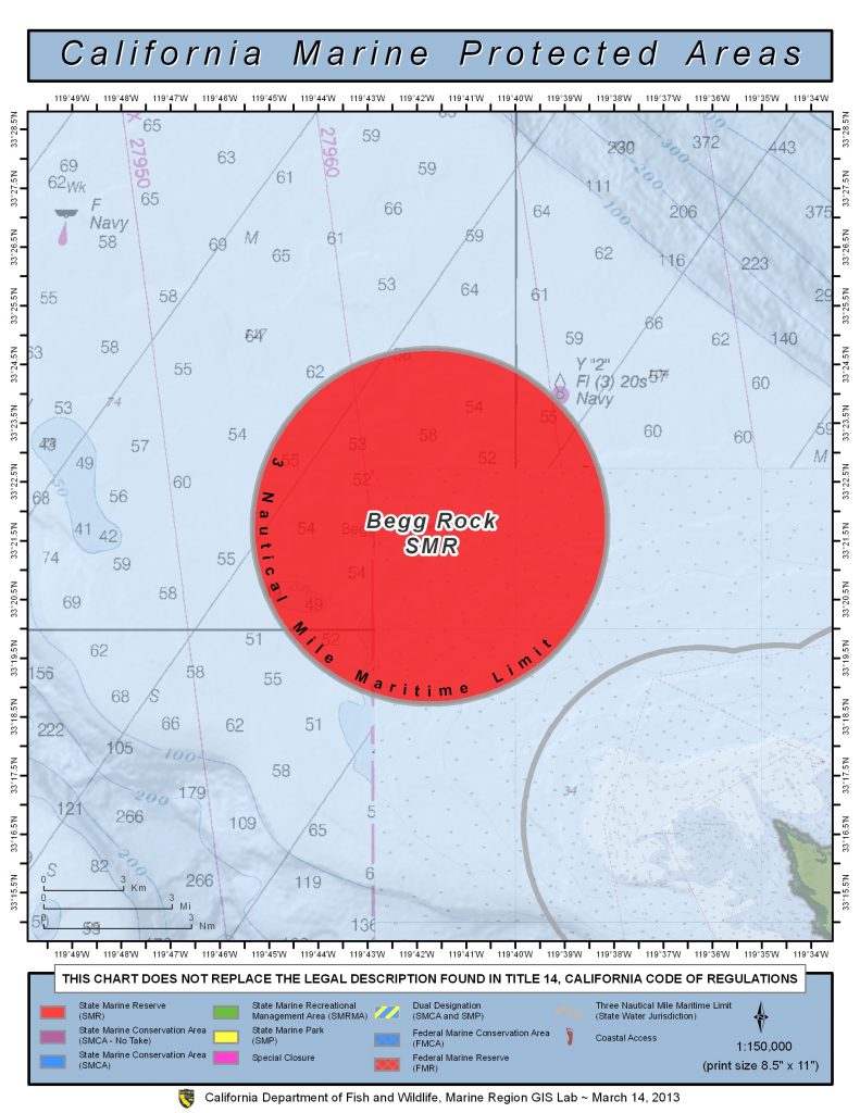
GPS Boundary:
This area includes all state waters below the mean high tide line surrounding Begg Rock, located in the vicinity of 33° 21.71′ N. lat. 119° 41.76′ W. long.
Permitted/Prohibited Uses: *
- Recreational Fishing:
- Allowed Species: None
- Prohibited Species: All
- Commercial Fishing:
- Allowed Species: None
- Prohibited Species: All
Effective as of: January 1, 2012


