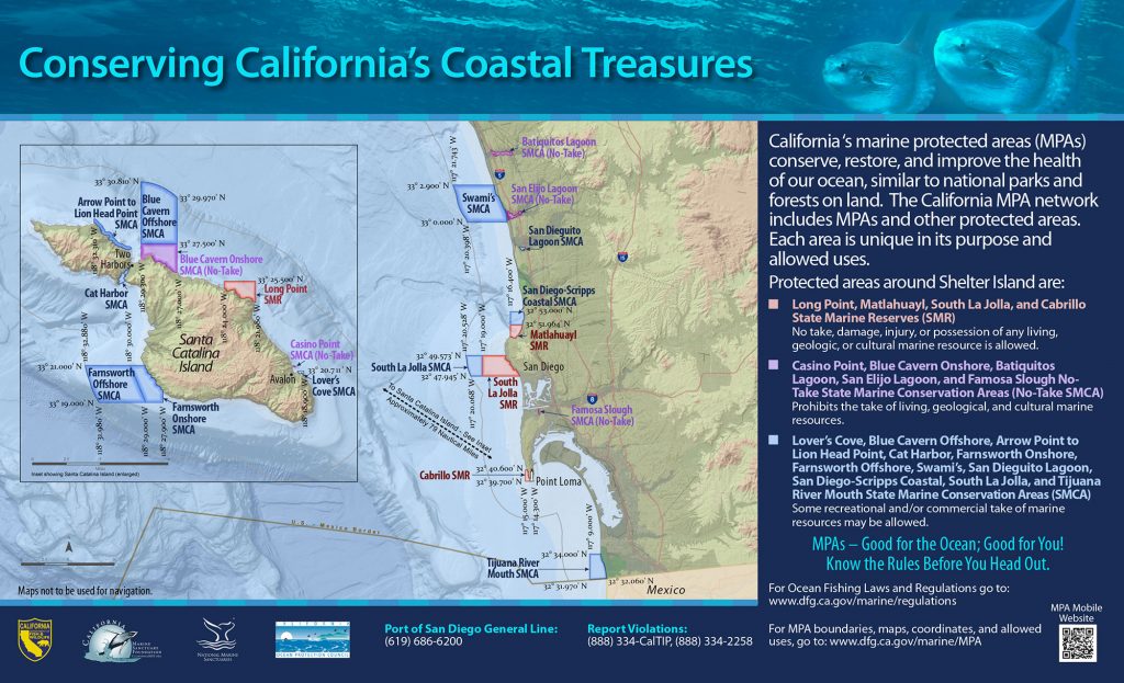
GPS Boundary:
This area includes the waters below the mean high tide line within Batiquitos Lagoon eastward of the Interstate Highway 5 Bridge, approximated by a line between the following two points:
33° 05.44′ N. lat. 117° 18.12′ W. long.; and
33° 05.46′ N. lat. 117° 18.13′ W. long.
Permitted/Prohibited Uses:
- Recreational Fishing:
- Allowed Species: None
- Prohibited Species: All
- Commercial Fishing:
- Allowed Species: None
- Prohibited Species: All
- Other Regulations:
- Boating, swimming, wading, and diving are prohibited within the conservation area.
Effective as of: January 1, 2012
Additional Resources:
- Fishing Guide San Diego MPAs (346K PDF file)
- Marine Recreational Brochure San Diego MPAs (749K PDF file)
- San Diego Regional Map (3.5M PDF file)
- Batiquitos Lagoon Interpretive Panel
- Batiquitos Lagoon You Are Here Sign
- San Diego Harbor Sign