Adaptively Managing California’s MPA Network
In January 2023, the California Department of Fish and Wildlife (CDFW) released the first ever comprehensive evaluation of the Network. The Decadal Management Review (DMR) laid the foundation for future discussions about adaptive management, and the findings resulted in an invitation to the public to submit petitions to amend the MPA network in late 2023.
Managing the MPA Network
CDFW employs a strategy called “adaptive management,” to ensure MPAs continue to provide strong protections for coastal and marine biodiversity, especially in the face of climate change. But what exactly is adaptive management? In the case of California’s MPAs, adaptive management entails a strategy that seeks to improve management of biological resources, particularly in areas of scientific uncertainty. Management actions shall be designed so that, even if they fail, they will provide useful information for future actions, and monitoring and evaluation shall be emphasized so that the interaction of different elements within marine systems may be better understood.
Petitions for Regulatory Change
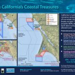
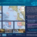
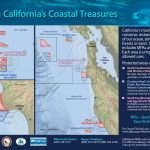
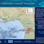
One tool that can be used in adaptive management are petitions for regulatory change. While CDFW manages and enforces MPA regulations, the regulations themselves are maintained by the California Fish and Game Commission (CFGC). Late last year, CFGC invited members of the public to submit petitions to amend California’s network of MPAs in light of the results shown in the DMR. The CFGC received a total of 20 petitions that contained over 80 individual requests for MPA regulation amendments.
CDFW developed a three-phase approach to evaluate the petitions, which was approved by the CFGC in April 2024. Phase 1, sorting of the petitions, is now complete. Five petitions were sorted into Bin 1, petitions that have enough information for CDFW to evaluate the petitions and make recommendations in the near-term, and the remaining 15 were sorted into Bin 2, longer-term petitions that need policy guidance, additional data or information, and/or resources to support proper evaluation. CDFW’s draft recommendations for Bin 1 petitions are now available for review.
Want to get involved in marine protected area (MPA) management?
Learn more and follow along with the MPA petition process! Check out the resources below for more information.


